Virunga Mountains – Volcanoes, Gorillas & Hiking Adventures

The Virunga Mountains are a chain of eight volcanic mountains that stretch across Uganda, Rwanda, and the Democratic Republic of Congo, located between Lake Edward and Lake Kivu. This mountain range forms part of the Albertine Rift Mountains, which border the western branch of the East African Rift Valley.
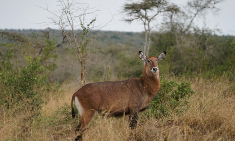
The name Virunga comes from the Kinyarwanda word Ibirunga, which means “volcanoes.” The Virunga Massif includes three national parks that protect mountain gorillas: Volcanoes National Park in Rwanda, Mgahinga National Park in Uganda, and Virunga National Park in Congo.
The Virunga Mountains consist of eight volcanoes, each with unique features:
Mount Sabyinyo
Mount Sabyinyo is the oldest volcano in the Virunga range, rising to 3,669 meters above sea level. The name Sabinyo comes from the Kinyarwanda word Ibinyo, meaning “tooth,” because its summit is jagged and looks like worn-out teeth in a gum line.
The mountain lies where Uganda, Rwanda, and Congo meet, within the three national parks mentioned above. It can only be climbed from the Ugandan side because the terrain on the other sides is too steep and rough.
Mount Nyiragongo
Mount Nyiragongo is an active stratovolcano located in Virunga National Park in Congo, with an elevation of 3,470 meters. Its lava lake is one of the largest in the world, known for its fast-moving lava that flows at about 97 kilometers per hour, much faster than most volcanoes.
It is one of the most active volcanoes in the world, having erupted at least 34 times since 1882. The lava lake is about 600 meters deep, and the volcano’s maximum elevation reaches 3,250 meters.
Mount Nyamuragira
Mount Nyamuragira is an active shield volcano also found in Congo. It stands at 3,058 meters high and has a 2-kilometer-wide caldera with walls about 500 meters deep. Because of political instability in the region, it has not been fully studied by scientists.
The name Nyamuragira comes from the local phrase Kuragira Ngavu, meaning “to herd cows.” It is one of Africa’s most active volcanoes, having erupted about 40 times since 1985, with the most recent major eruption in November 2011.
Mount Mikeno
Mount Mikeno is the second-highest of the Virunga volcanoes, standing at 4,437 meters above sea level. The name Mikeno means “poor,” referring to its steep and rocky slopes that make human settlement difficult.
Mount Karisimbi
Mount Karisimbi is a dormant stratovolcano and the highest peak in the Virunga range, rising to 4,507 meters. It lies on the border between Rwanda and Congo. The name Karisimbi comes from Amasimbi, meaning “snow,” because the mountain’s peak is often covered with snow for most of the year.
Mount Gahinga
Mount Gahinga lies between Rwanda and Uganda and stands at 3,473 meters. The word Gahinga means “a small pile of stones.” Its slopes are home to bamboo forests and mountain gorillas.
Mount Muhabura
Mount Muhabura, also called Muhavura, stands at 4,127 meters between Rwanda and Uganda. The name means “guide,” as the mountain was once used as a landmark by travelers navigating the region.
Mount Bisoke
Mount Bisoke lies on the border between Rwanda and Congo. Its last eruption occurred in 1957, and its slopes are covered with thick vegetation that provides habitat for endangered mountain gorillas.
Overall, the Virunga Mountains are a natural treasure, rich in wildlife and culture, and are among the most important ecological regions in Africa.
Booking Your Safari Now
If you'd like to customize your tour by adding more days or destinations, please contact us through our main contact page using the button below.